Home
Site Map
Source Page
Johnson Way
Map

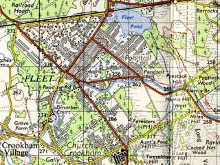
Johnson Way is in the lower central square of this map. Turn to the south west where the number 286 is shown and at the end of the road turn left again.
A map from 1959. Click the map for a larger version.
Top
